

🚀 Did You Know the Earth Just Got Its Own 24/7 Guardian?
Imagine a satellite so powerful it can track a glacier melting in Alaska, an earthquake fault shifting in Myanmar, and a forest vanishing in Brazil — all at the same time.
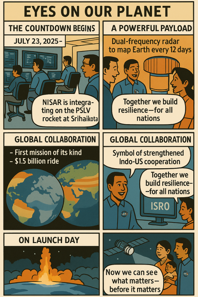
Well, that’s exactly what NISAR — the NASA–ISRO Synthetic Aperture Radar satellite — is built to do. And it’s launching this July 30, 2025, right from Sriharikota, India.
But here’s the kicker: it doesn’t just help world governments or scientists. It affects us — the everyday folks navigating floods, farms, and families in neighborhoods like yours.
🛰️ What Is NISAR, and Why Should We Care?
📌 Quick Facts:
- NISAR stands for NASA–ISRO Synthetic Aperture Radar.
- It’s a $1.5 billion joint mission by the US and India — and the first of its kind.
- Launch date: July 30, 2025 at Satish Dhawan Space Centre, Sriharikota, India.
- It will scan the entire Earth every 12 days, tracking:
- Ground shifts
- Glacier melt
- Deforestation
- Natural disasters like landslides, floods, and earthquakes
- Crop health and water usage
Cool? Very.
Important? Even more.
🌱 So, What Does This Mean for Your Community?
Whether you’re in Los Angeles, London, Lagos, or Lima, here’s how the NISAR satellite will shape real-world change right where you live:
1. Faster Natural Disaster Alerts
🌀 Living in a coastal town prone to hurricanes? Or near a quake zone like San Francisco or Istanbul?
NISAR can detect subtle ground shifts and environmental stress — giving emergency responders more time to act before disaster strikes.
2. Smarter Urban Planning
🏙️ In rapidly growing cities like Nairobi, up-to-date land motion data means smarter zoning, safer housing, and better infrastructure planning — reducing risks of sinkholes, landslides, and construction failures.
3. More Resilient Farming & Food Security
🌾 Whether it’s rice fields in Bangladesh or vineyards in Spain, NISAR helps scientists track soil moisture, erosion, and crop health, leading to more efficient water use and climate-smart agriculture.
4. Better Climate Change Monitoring
🌍 Rising sea levels threatening Venice? Droughts in Mexico or wildfires in Australia?
NISAR offers real-time global insight into Earth’s shifting patterns — supporting international action and community-level resilience.
🤝 Why This Mission Is Different
This isn’t some isolated tech project. It’s a global collab — NASA + ISRO, US + India, science + society.
And it’s driven by the belief that data can protect people.
No paywalls. No secrets. Just science in service of everyday life.
🧭 Here in Singapore, What’s Next?
At Ngagego.com, we believe stories like these shape the future of your neighbourhood.
📍Whether you’re from Singapore, San Francisco or somewhere in between, this tech impacts you.
We’ll be following the NISAR launch and mapping how it could transform local resilience, sustainability, and smart city living.
🔔 Stay Connected, Locally and Globally
🌐 Official site: Ngagego.com
📌 Subscribe and bookmark your nearest neighbourhood to leave your mark.
💬 Comment below: What do you hope this satellite helps solve in your area?
Disclaimer: Availability of data services and local impact features may vary by country and agency support.
✨ Final Thought
Tech like NISAR shows us something simple but profound:
The better we understand our planet, the better we protect our people.
Let’s keep our eyes on the sky — and our feet rooted in the community.
🔖 Subscribe to Ngagego and follow your nearest neighbourhood to stay updated. Bookmark this space, your story starts here.


Leave a Reply